



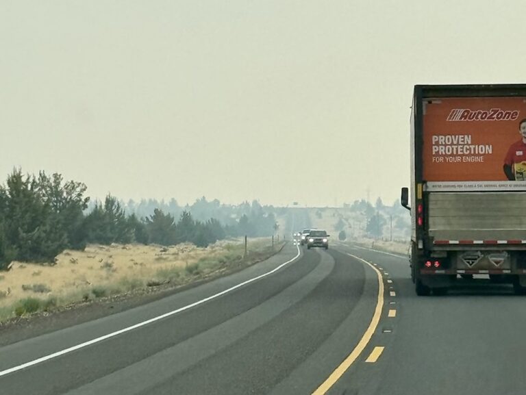
SALEM, Ore. — Wildfires east of the Cascades in Oregon continue to affect major travel corridors, leaving few options for travelers and freight, the Oregon Department of Transportation (ODOT) said in a Tuesday media release.
“When major routes close, smaller roads quickly become congested because they aren’t designed for heavy traffic and large loads,” ODOT said. “This can lead to long delays, and crashes become more likely. If you must travel to eastern or central Oregon this week, plan ahead and be prepared for rapidly changing conditions. Even if a road is open when you set out, it might be closed by the time you reach it.”
Interstate 84 reopened early Tuesday morning after closing at midnight when fire activity increased. Fire continues to affect a 30-mile stretch of I-84 between Baker City and Ontario, so expect continued delays and possible intermittent closures. Sections of U.S. 20 and U.S. 26 between central and eastern Oregon remain impacted due to wildfire.
Many other routes that aren’t impacted at this time have wildfires threatening them nearby. ODOT urges travelers to check TripCheck.com for the latest information. Highway closures can happen with little notice as wildfire activity and conditions change.
“Please be safe and aware as ODOT crews across Oregon work around the clock to respond to devastating wildfires,” Gov. Kotek said. “ODOT crews are working alongside firefighters and emergency responders to safely reopen roads as soon as they can. TripCheck.com has the most up-to-date information.”
While an interstate or highway is closed, avoid traveling toward closure points, ODOT advised adding that truck parking and services near these closures fill quickly, leaving limited places to wait.
“Remain at a location with access to fuel, food, water and lodging, and check TripCheck.com for the latest updates before resuming your trip,” ODOT said. “These closures are necessary for more than just fire along the roadway and low visibility due to dense smoke. Firefighters and emergency responders are working from and along some highways, emergency routes must remain clear, and highways are needed for evacuation traffic.”
Some other things to remember while traveling this wildfire season:
Smoke can reduce visibility quickly, making it difficult to see other vehicles, emergency responders and hazards. Slow down, increase following distance and use extra caution when driving through smoky areas.
Never rely on GPS alone. GPS may direct you onto Forest Service roads or other routes that aren’t suitable for highway traffic.
Power outages near fires may also affect traffic signals and other transportation systems, so treat dark signals as four-way stops and watch for changing traffic patterns.
Burned areas may have missing signs, damaged guardrail or other damaged roadside infrastructure until crews can safely return to make repairs.

Bruce Guthrie is an award-winning journalist who has lived in three states including Arkansas, Missouri and Georgia. During his nearly 20-year career, Bruce has served as managing editor and sports editor for numerous publications. He and his wife, Dana, who is also a journalist, are based in Carrollton, Georgia.