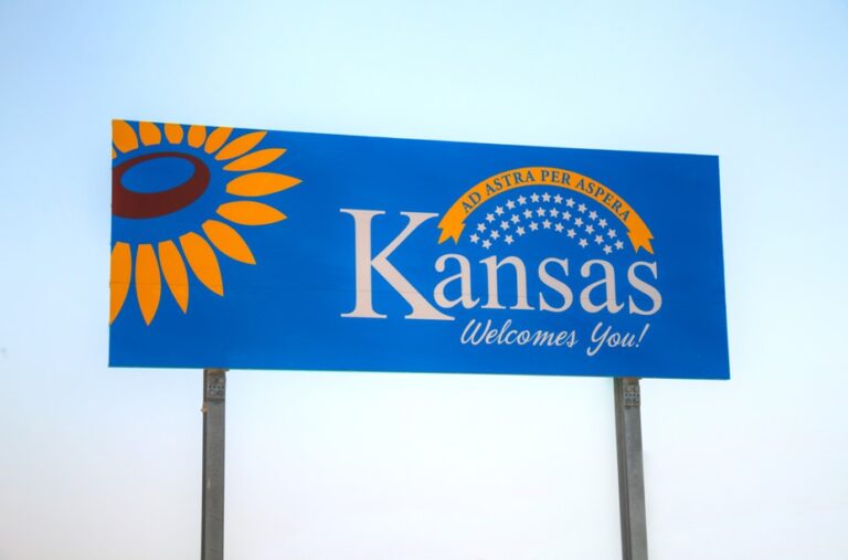
TOPEKA, Kan. — For those who prefer paper maps to GPS devices, there’s good news if you’re traveling through Kansas.
The maps are free to the public and will be available within the next few weeks at travel information centers, attractions, businesses and other locations across the state.

The maps, published by the Kansas Department of Transportation (KDOT), highlight numerous tourist and scenic locations, including state parks and lakes, as well as recreation areas, museums, historic sites and more, according to a news release.
City/county indexes and a distance map allow motorists to pick the best route to their destination. Visitor resources, phone numbers/websites and locations of airports and hospitals are also provided.
On the back of the map are inset maps of Kansas City, Wichita Topeka and 13 other cities.
There is also road condition information and details on how to get roadside assistance.
They can also be requested on the KDOT website at KDOT: Kansas Official State Maps (ksdot.gov).
The Trucker News Staff produces engaging content for not only TheTrucker.com, but also The Trucker Newspaper, which has been serving the trucking industry for more than 30 years. With a focus on drivers, the Trucker News Staff aims to provide relevant, objective content pertaining to the trucking segment of the transportation industry. The Trucker News Staff is based in Little Rock, Arkansas.


